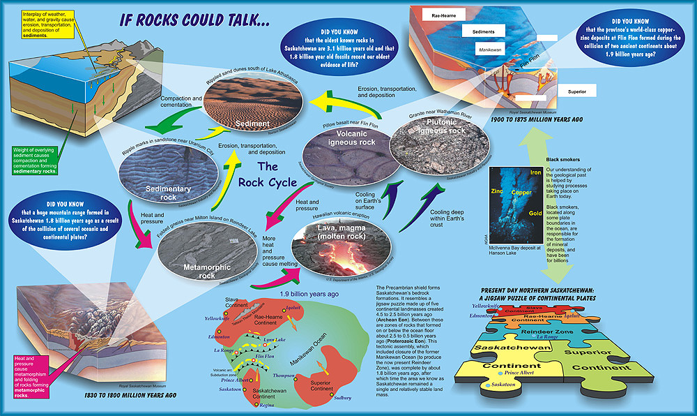
(Image-left) Interplay of weather, water, and gravity cause erosion, transportation, and deposition of sediments. Weight of overlying sediment causes compaction and cementation forming sedimentary rocks.
(Image-right) Sediment - Rippled sand dunes south of Lake Athabasca. (Courtesy of Tourism Saskatchewan)
(Image-bottom) Sedimentary Rock - Ripple marks in sandstone near Uranium City. (Courtesy of Saskatchewan Industry and Resources)
The Precambrian shield forms Saskatchewan's bedrock formations. It resembles a jigsaw puzzle made up of five continental landmasses created 4.5 to 2.5 billion years ago (Archean Eon).
Between these are zones of rocks that formed on or below the ocean floor about 2.5 to 0.5 billion years ago (Proterozoic Eon).
This tectonic assembly, which included closure of the former Manikewan Ocean (to produce the now present Reindeer Zone), was complete by about 1.8 billion years ago, after which time the area we know as Saskatchewan remained a single and relatively stable land mass.
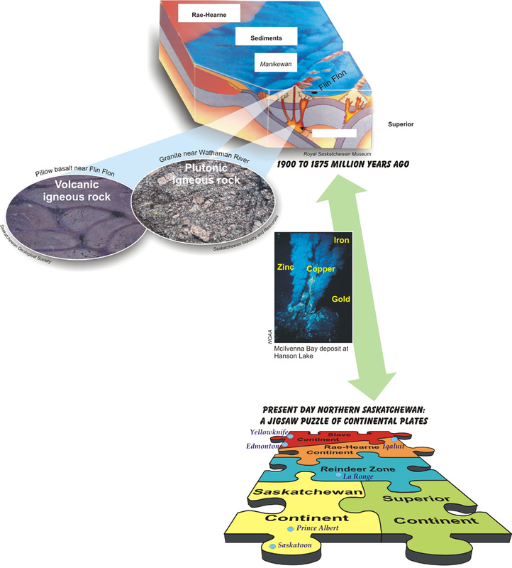
(Image-top) 1900 to 1875 million years ago. (Courtesy of Royal Saskatchewan Museum)
(Image-middle) McIlvenna Bay deposit at Hanson Lake. (Courtesy of NOAA)
Black smokers, our understanding of the geological past is helped by studying processes taking place on Earth today. Black smokers, located along some plate boundaries in the ocean, are responsible for the formation of mineral deposits, and have been for billions of years.
(Image-bottom) Present Day Northern Saskatchewan: A jigsaw puzzle of continental plates
1830 to 1800 million years ago Heat and pressure cause metamorphism and folding of rocks formingmetamorphic rocks. (Courtesy of Royal Saskatchewan Museum)
(Top-right) Metamorphic Rock - Folded gneiss near Milton Island on Reindeer Lake (Courtesy of Saskatchewan Geological Society)
Did You Know ?
the oldest known rocks in Saskatchewan are 3.1 billion years old and that 1.8 billion year old fossils record our oldest evidence of life ?
a huge mountain range formed in Saskatchewan 1.8 billion years ago as a result of the collision of several oceanic and continental plates?
that the province's world-class copper-zinc deposits at Flin Flon formed during the collision of two ancient continents about 1.9 billion years ago?