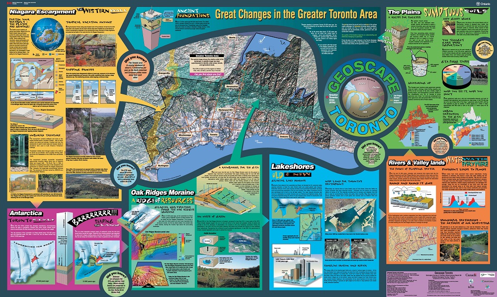
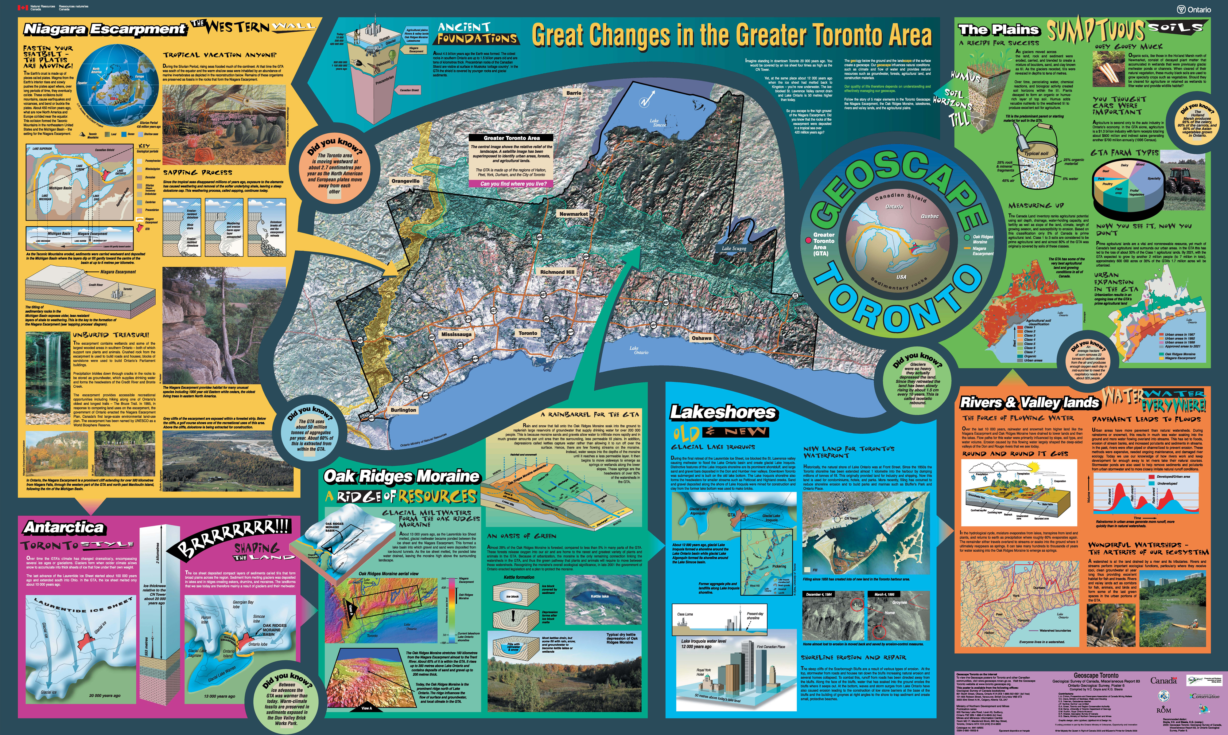
GEOSCAPE TORONTO presents Earth Science features and issues of the Greater Toronto Region (GTA) in a large format (145 x 88 cm), colourful, graphics-rich poster with supporting text that is teeming with fascinating information designed to engage a wide range of audiences.
A geoscape is the three-dimensional relationship between the geology below the surface and the present landscape that we live in. Geologic processes of the past and present provide the materials, shape and texture of today's land surface. A solid understanding of our geoscape is vital in evaluating the wise use and management of our land and water resources.
GEOSCAPE THEMES
Unearth information about the GTA's fascinating geologic past through five theme panels that highlight significant geoscape features in the region:
Each theme panel describes the feature's origins, resources and human impacts, and illustrates important information on its shape, location, and composition. The panels are tied together with key facts that describe great changes that have occurred in the region over geologic time, from the existence of ancient tropical seas to the chilly conditions of the last ice age when Toronto was covered by 2 km of glacial ice! Delve beneath the city streets to explore the area's Ancient Foundations and visualize Antarctica Toronto Style. Central to the poster is an enhanced satellite image of the GTA superimposing landscape and land-use information.
Our future will depend on how well we understand our geoscape to ensure the wise use and management of its resources. With a population of approximately 5 million people, and another 2.5 million expected to call the GTA home by the year 2031, it is critical that we understand our geoscape to aid in making informed decisions about land-use. Knowledge of our geoscape will, in part, determine how well we live in the GTA for generations to come.
USERS
The GEOSCAPE TORONTO poster and its associated Web-based components aim to provide a set of educational tools to raise awareness of the significance of Earth Science in the GTA. The poster is designed for use by students, teachers, land-use planners, politicians, naturalists, and the general public.
CONTRIBUTORS
The GEOSCAPE TORONTO project is a co-operative effort of geoscience, planning and other professionals. It has been developed through the participation and support of the government, industry, and education partners. Many organizations have participated in the project, the major contributors include the Geological Survey of Canada, Ontario Geological Survey, Ministry of Municipal Affairs and Housing, University of Toronto, Royal Ontario Museum, Prospectors and Developers Association of Canada Mining Matters, Toronto and Region Conservation Authority, and private geoscience educators.
Want to know more?
Upcoming Events - Check these sites for upcoming events.
Government Agencies Ken Steele Ministry of Northern Development and Mines Mines and Minerals Information Centre Room M2-17, 900 Bay Street Toronto, Ontario M7A 1C3 Tel: 416-314-3792
Associations Laura Clinton, Lesson Plan Co-ordinator PDAC Mining Matters Suite 900 34 King Street East Toronto, ON M5C 2X8 Tel: 416-362-1969 ext. 228 Fax: 416-362-0101 Email: [email protected]