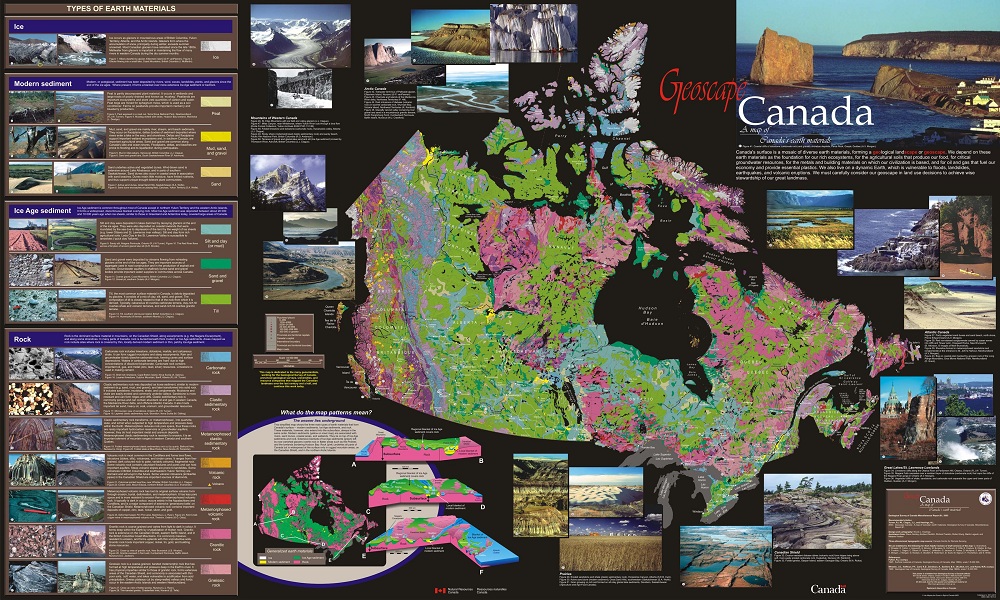
Geoscape - CanadaGeoscape Canada Poster
|
Map Legend
|
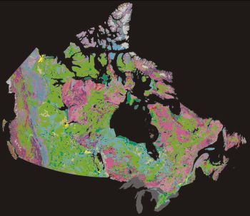
Earth MaterialsIce
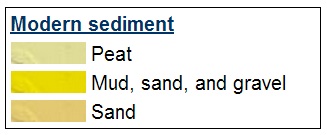
Ice occurs as glaciers in mountainous areas of British Columbia, Yukon Territory, Alberta, and the Arctic Islands. Glaciers form where the accumulation of snow, principally during winter, exceeds summer snowmelt. Most Canadian glaciers have retreated since the late 1800s. Meltwater from glaciers is important in maintaining the flow of many rivers in western Canada during the dry summer months. Modern Sediment Modern sediment, or postglacial sediment, has been deposited by rivers, wind, waves, landslides, plants, and glaciers since the end of the ice ages. Where present, it forms a blanket over more extensive Ice Age sediment or bedrock. Ice Age Sediment
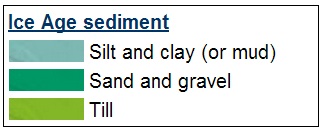
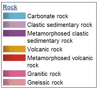
Ice Age sediment is common throughout most of Canada except in northern Yukon Territory and the western Arctic Islands. It forms a widespread, discontinuous blanket overlying rock. Most Ice Age sediment was deposited between about 20 000 and 10 000 years ago when ice sheets, similar to those in Greenland and Antarctica today, covered large areas of Canada. Rock Rock is the dominant surface material in mountains, on the Canadian Shield, along escarpments (e.g. the Niagara Escarpment), and along some shorelines. In many parts of Canada, rock is buried beneath thick modern or Ice Age sediments. Areas mapped as rock include sites where rock is covered by thin, locally derived modern sediment or thin, patchy Ice Age sediment. |