CGEN Archive

Geoscape - N. Saskatchewan

CGEN's Home Page
  • Home
  • CGEN Minutes
  • EarthLinks
  • EdGEO
    • Bringing Earth Science to Life
    • Putting the Earth into Science
  • FBY
    • FBY-Chapter Previews
    • FBY-Sample Lesson
    • QMA-Apercus des chapitres
  • Geoscape
    • Geoscape Canada >
      • Calgary
      • Fort Fraser
      • Montreal
      • Nanaimo
      • Northwest Territories
      • Ottawa-Gatineau
      • Québec
      • Saskatchewan-North
      • Saskatchewan-South
      • Toronto
      • Vancouver
      • Victoria
      • Whitehorse
    • Géopanorama du Canada
    • Geoscape Posters
    • Geotours
    • Waterscapes >
      • Bowen Island
      • Bow River Basin
      • Gulf Islands
      • Okanagan Basin
  • Geovistas
  • Key Publications
    • Wat On Earth
  • OGGP
  • Contact Us
Geoscape - Northern Saskatchewan
  • Home
  • If rocks could talk...
  • Athabasca Sedimentary Basin
  • The Ice Age
  • Meteorite Impact
  • Jobs in Mining
  • Hidden Treasures
  • How We Use Our Land
  • Waterways of the Canadian Shield
  • How long is time?
  • Credits & Citation
  • Poster Downloads

Geoscape - N. Saskatchewan

Athabasca Sedimentary Basin: 
Source of Clean Electric Power for the World

Picture
Further on in the Precambrian shield story...
Picture


Thin layers in rocks, formed in sand carried by rivers, slope downstream (to left), and indicate the direction in which ancient rivers flowed.(Courtesy of Saskatchewan Industry and Resources)
Picture
Quartz, from which these white pebbles are formed, is the most abundant mineral in the sedimentary rocks of Athabasca Basin.  (Courtesy of Saskatchewan Industry and Resources)
Picture
Life existed in these ancient shallow lakes in the form of cabbage-shaped, banded structures called stromatolites produced by photosynthetic bacteria.  (Courtesy of Saskatchewan Industry and Resources)
Picture
Poor hunting: Frequently burned, pine- and spruce-dominated forests on the dry sandy soils of the Athabasca Plain eco-region support smaller, less diverse wildlife populations than farther east and south.
Picture


Mudcracks preserved in rock show that the ancient rivers periodically dried up.  (Courtesy of Saskatchewan Industry and Resources)
Picture
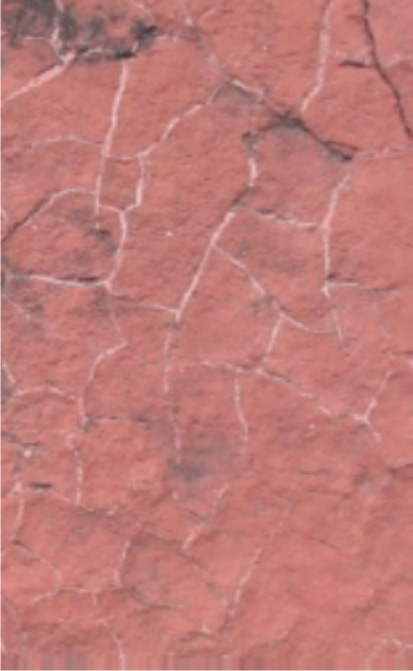
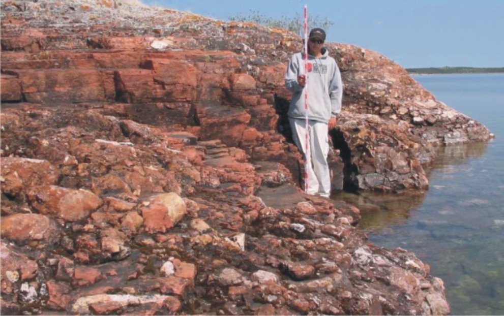
Unconformity - Athabasca Group sandstone 1700 million years old. Conglomerate 1820 million years old. 

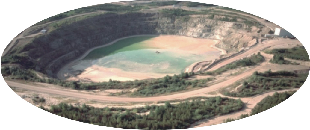
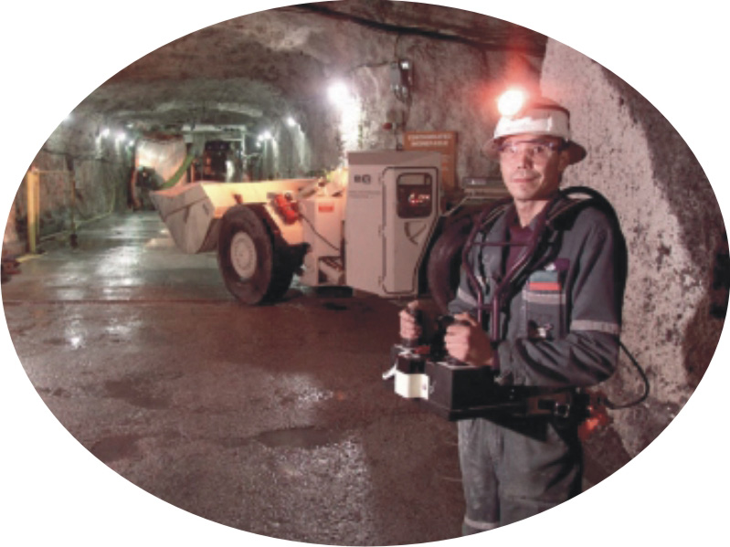
Unconformities (erosional surfaces), such as the one shown here on the north shore of Lake Athabasca, indicate major time breaks in the geological record. This unconformity marks the erosion of the great mountain belt formed 1800 million years ago. 

Most of the uranium deposits in Athabasca Basin are associated with fault zones (breaks in the crust with movement) that cut this unconformity. These deposits are the richest known in the world. Ones near the surface are mined from open pits, but deeper ones are mined underground.  (Courtesy of Saskatchewan Industry and Resources)

Picture
Open pit uranium mine.

(Courtesy of Cameco Corporation)
Picture
Underground uranium mine. Clean energy: nuclear reactors produce no greenhouse gases, although depleted uranium fuel cells need to be stored safely.

(Courtesy of Cameco Corporation)

Did You Know ?
  • stromatolites are the oldest fossils in Saskatchewan.
  • 14% of Canada's (and 18% of the world's) electricity comes from nuclear power plants.
Géopanorama du Canada
Geoscapes:
  • Canada
  • Calgary
  • Fort Fraser
  • Montreal
  • Nanaimo
  • Northwest Territories
  • Ottawa-Gatineau
  • Québec
  • Saskatchewan - North
  • Saskatchewan - South
  • Toronto
  • Vancouver
  • Victoria
  • Whitehorse
Copyright CGEN 2014-2021
​ Quick Links to Earth Sciences Canada sites
​Earthlinks | WHERE Challenge | Careers in Earth Science |  Four Billion Years and Counting | IYPE | CFES | CGEN | IUGS | GeoVistas | OGGP