Most historical buildings in Montreal are constructed of a very uniform-looking, grey limestone that is 450 million years old. This rock is generally referred to as 'Montreal greystone'. It was available near the surface over a large part of the eastern end of the island, commonly right on construction sites themselves, and was widely used as a building stone and for manufacturing the lime needed for masonry work. In about 1850, over 2000 residents of the village of Coteau-Saint-Louis made their living by quarrying stone.
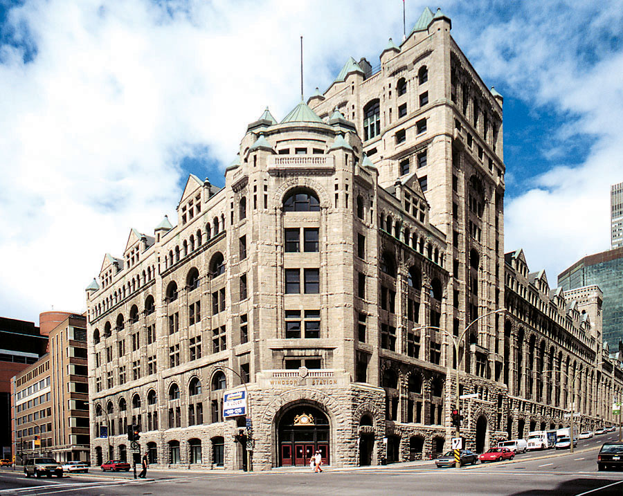
Windsor Station was built between 1887 and 1889, and enlarged between 1907 and 1912, using limestone from Saint-François-de-Salle on Jésus Island. (Courtesy of Pierre Bédard (UQAM))
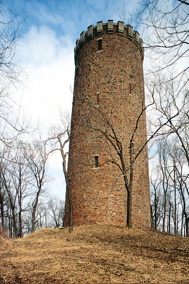
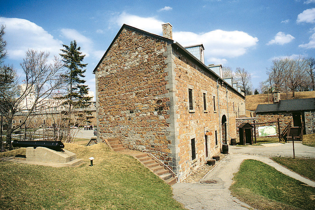
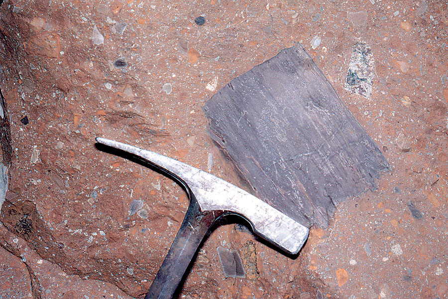
A very unique rock can be found on Montreal Island: it is a breccia that was formed during explosive volcanic events associated with the Monteregian intrusions. It can be seen on Bizard and Cadieux islands, and it makes up the basement of Sainte-Hélène Island. Several buildings on this island, including the restaurant, tower, and fort, now the Stewart Museum, were built using this breccia, which was quarried at the foot of the Jacques-Cartier Bridge.
The volcanic Sainte-Hélène Island breccia resembles natural concrete. It was used where it was quarried to construct the historic buildings of the island. (Courtesy of Pierre Bédard (UQAM))
In the early twentieth century, limestone was quarried primarily to obtain crushed stone. Le Pélican and Lafond parks and the Montreal Botanical Garden are located on former quarry sites. However, the Saint-Michel Quarry was the main centre for such activities. During the 1960s, the Francon and Miron quarries supplied the crushed stone and construction materials, including cement, that were needed to sustain the city's phenomenal growth. Their closure in the 1980s signaled an end to the stone quarrying that had been a feature of the island since the early days of the colony.
Quarry Rehabilitation
With time, as resources were depleted, quarrying activity moved north, notably to Jésus Island. The pits were later converted to large municipal dumps, and it is only fairly recently that they were developed as parks. In some cases, neighbourhoods were established on former dumps, and problems of foundation stability developed. The city was built from rocks excavated in quarries on the sites of Laurier, Père-Maquette, Des Carrières, and Villeray parks.
In Pointe-Claire in the west end of Montreal, a quarry that supplied the stone for the piers of Jacques-Cartier Bridge is now part of a golf course. The Centre de la Nature at Saint-Vincent-de-Paul, on Jésus Island, has made use of a large limestone quarry. There, visitors can take a 450 million year walk through the geological history of the continent. The deepest part of this former quarry is used by divers to practise their sport.
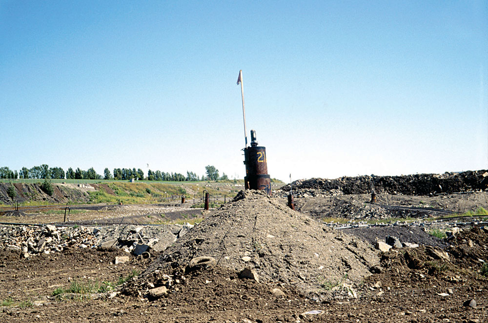
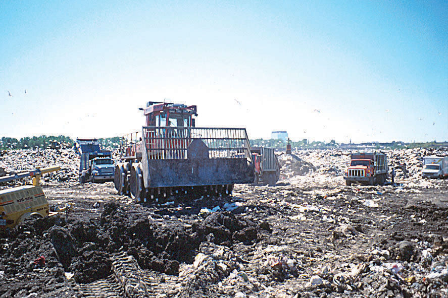
One especially interesting example is the former Miron Quarry, near Métropolitain Boulevard, which is now the Saint-Michel Environmental Complex. The smokestacks of the former cement plant were long used by Montrealers as landmarks. Today, the quarry has been converted to a sanitary landfill, where biogas generated by the decomposition of buried waste is used to produce electricity. Organic waste is also converted into compost utilized by the city in its gardens.