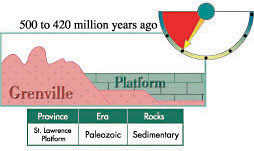
The Lowlands: the St. Lawrence Platform
The Monteregian Hills: Igneous Intrusions
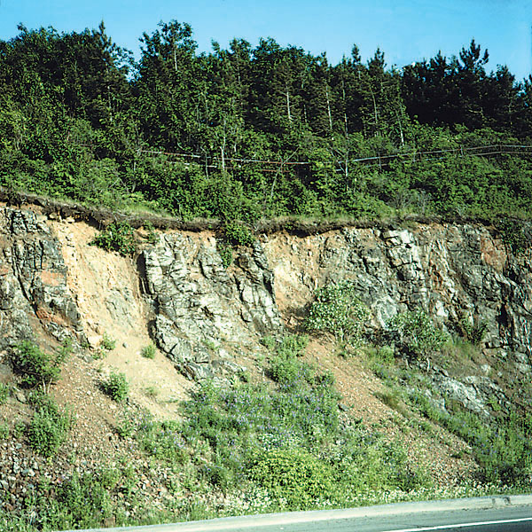
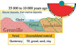
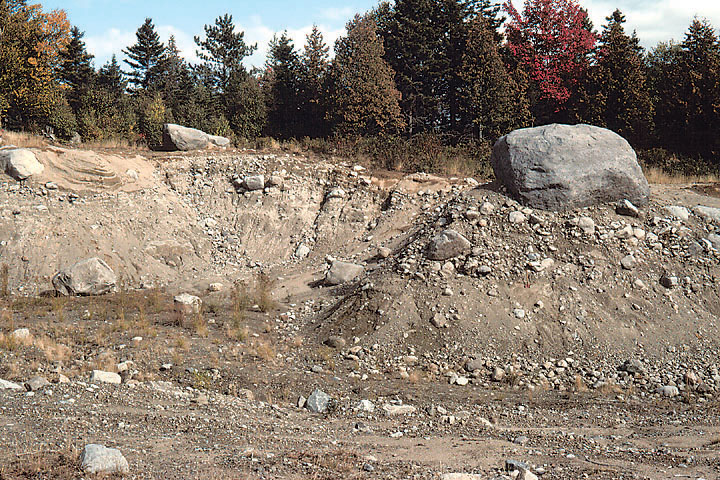
The Quaternary: a Period of Glaciation
|
The Lowlands: the St. Lawrence Platform
The Monteregian Hills: Igneous Intrusions
The Quaternary: a Period of Glaciation
|

